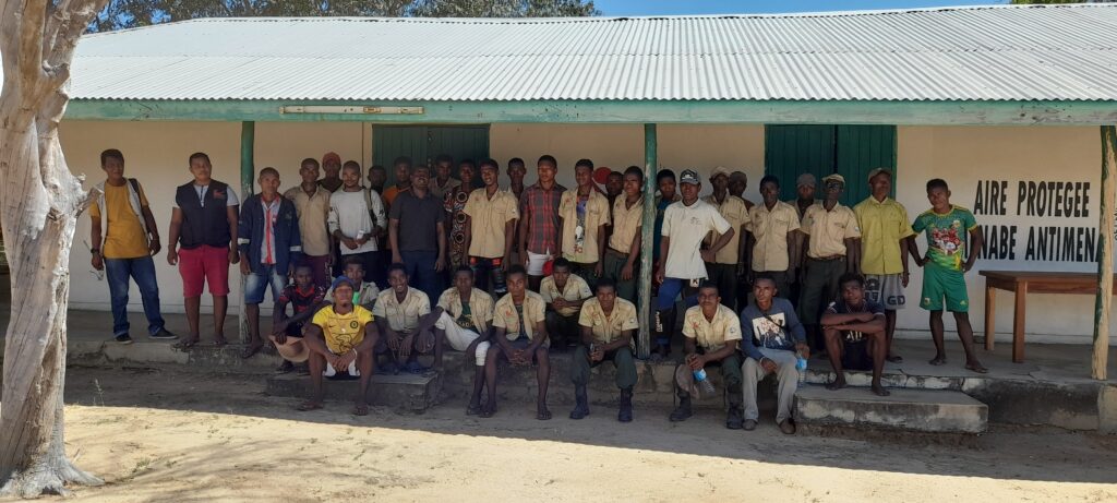
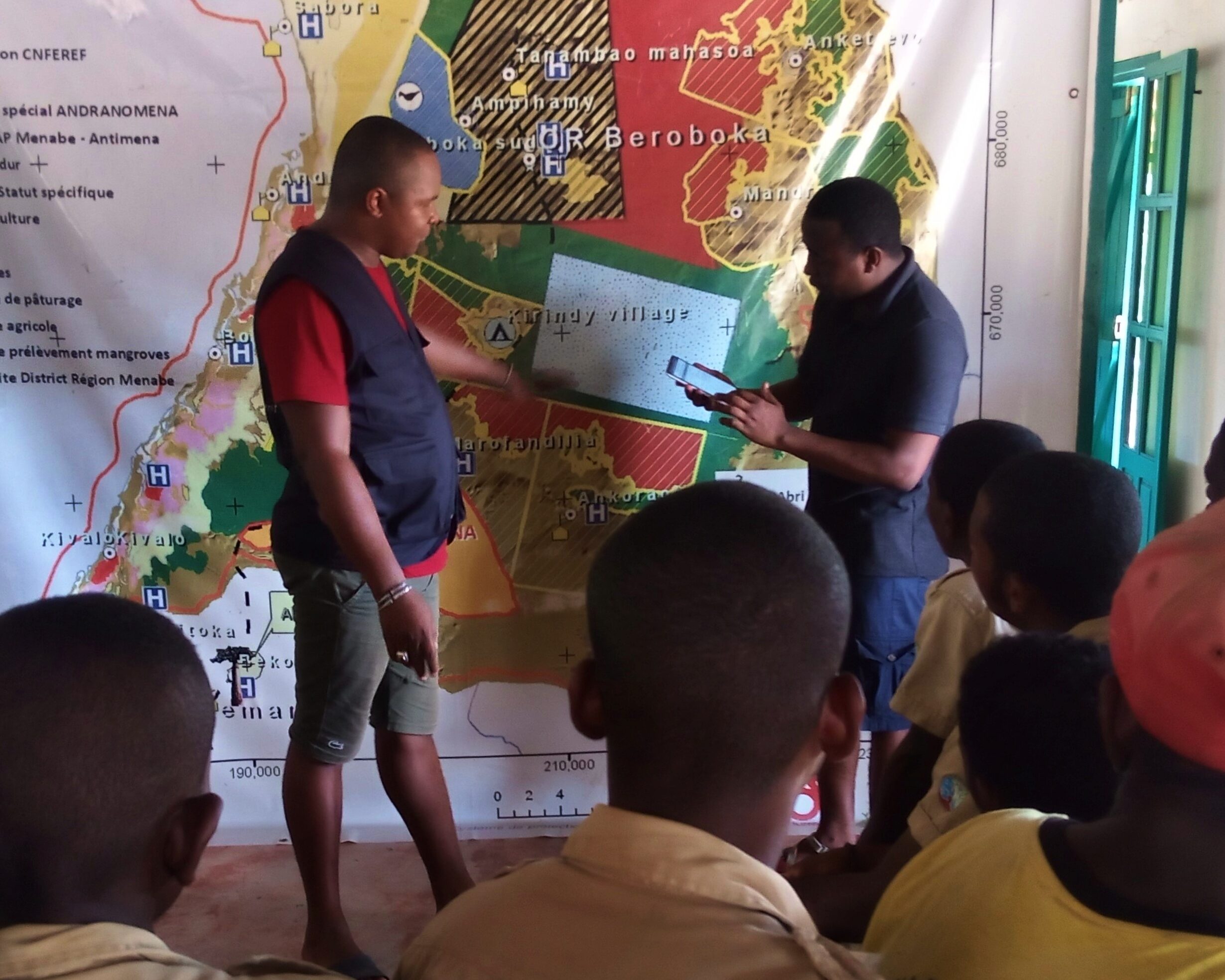
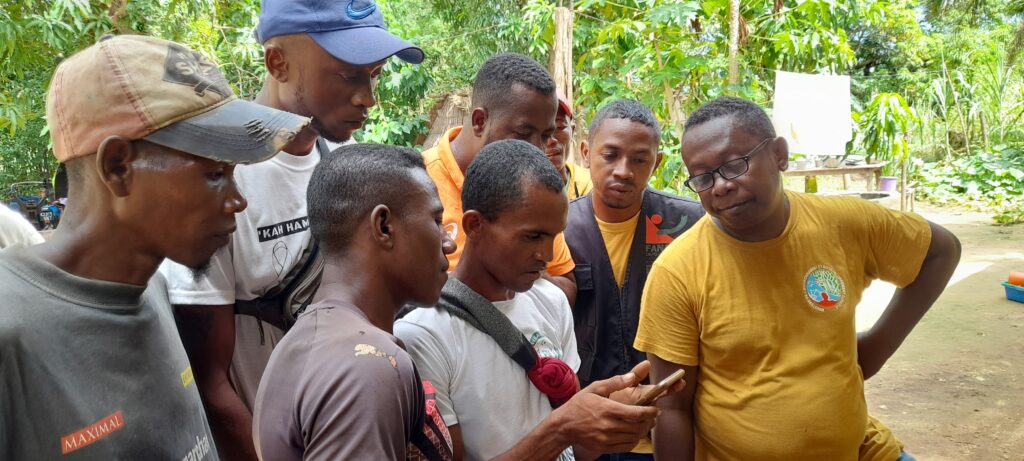
As part of its preparations for the fire season, Fanamby organized multiple training sessions on using the SMART tool to build fire officers' capacity at three protected area localities: Marofandilia, Beroboka Sud, and Tsimafana. SMART stands for Spatial Monitoring and Reporting Tool and is the tool of choice for rangers and protected area managers. This year, all patrols carried out by our fire officers will be recorded using the SMART tool.
The benefits of SMART
The use of SMART data makes it possible to provide accurate and concrete information on the work of local patrollers, especially regarding infractions and events observed during their patrols. It is a tracking, data collection, and decision-making tool that allows managers to have reliable data on patrols and distances covered. Through this application, field teams can obtain reliable information on their progress in patrol activities.
103 people trained
A total of 93 fire officers and 10 animators were trained in the SMART tool to better equip them for their patrols throughout the Menabe Antimena protected area. These patrollers are spread across 13 localities in the protected area. Training objectives included handling the SMART mobile application, inserting information and data, and using tracking and collecting data. Participants were also reminded of the legislative framework governing patrollers' work, obligations, and rights, and were put in group situations to carry out patrols.

A wealth of data collected
The information entered into the application will depend on what the patrollers encounter along their patrols. Infractions, observations, and patrol tracks are mapped and sent to a Geographic Information System (GIS) Manager for processing. Recorded infractions include infraction types, GPS data, perpetrators, surface of cleared area, and measures taken by the patrols. On the other hand, wildlife observations include wildlife characteristics, species, and GPS data. Tracking patrol routes provides information on the distance covered by patrollers, their working hours, and especially the areas covered.
Importance of the SMART tool
The implementation of the SMART tool in this protected area is a step towards a more effective and sustainable conservation. The data collected using this tool enables better planning of conservation activities and optimal use of resources. In addition, this tool enhances transparency and accountability for actions taken in the field. The tangible results of this initiative will be measured in the medium and long term, but an improvement in the conservation status of the Menabe Antimena protected area and its wildlife can be expected.